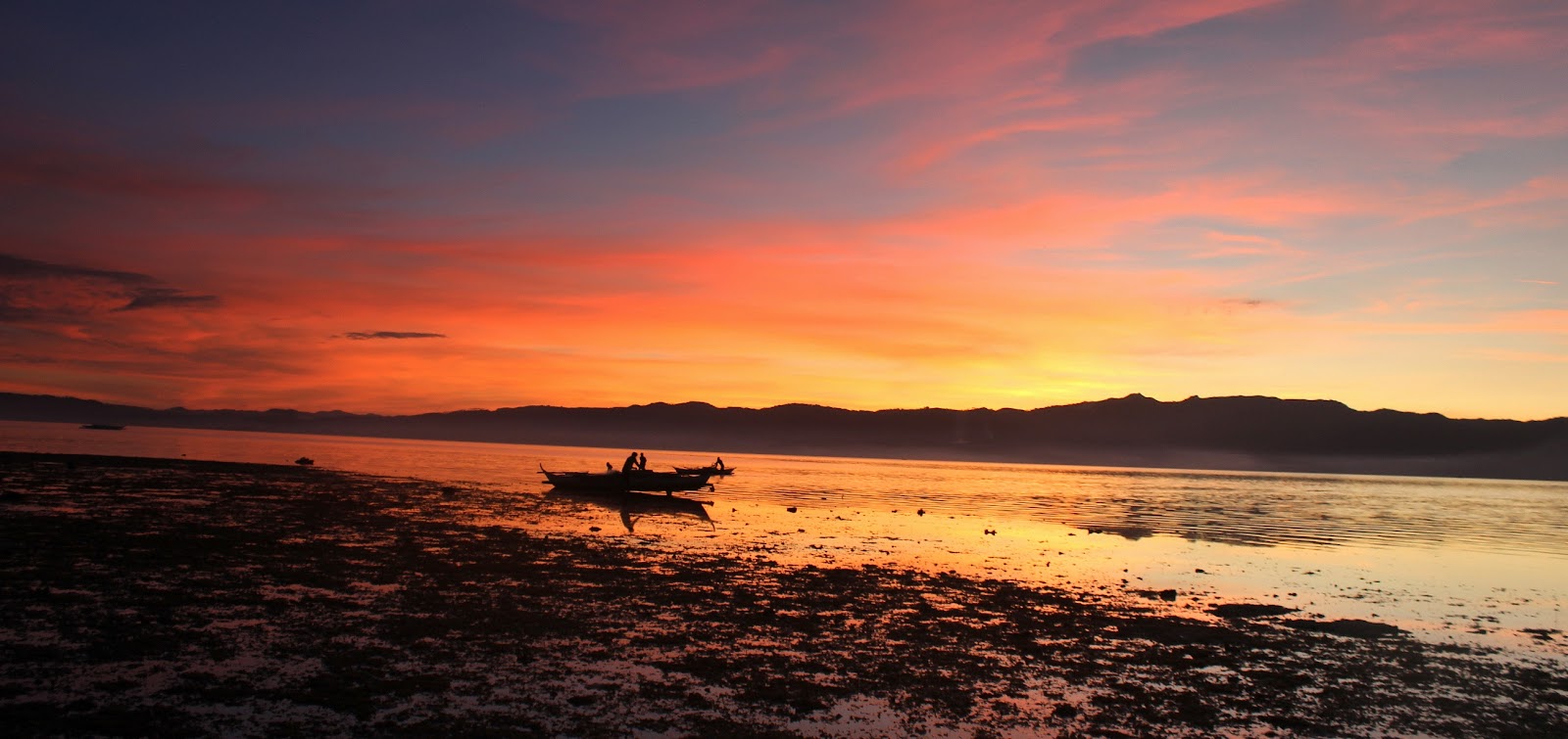

Mt Maculot is one of the mountains lying in southern Luzon which is prominent to mountaineers because of its special feature. Maculot is one of the best options for day hikes because of its minor trail type, terrains that are covered with trees and surrounded by grass and shrubs, the air is fresh, cool ambiance and a perfect location for a stunning shot with the world-famous and most active Taal Volcano on the background. The rockies is one of the best and famous part of Maculot.


The Trails | From the jump off to the campsite, most of the trail is ascending and got 3 rating out of 9 in terms of its difficulty, but never underestimate it. The trail is well-established, clean and covered with trees and shrubs on the sides. The ambiance is cool and the air is fresh. Buko juice and halo-halo stores are present in almost every 10 meters on the trail, perfect to replenish lost body fluids.

The Trail to the Rockies | From the campsite, the trail is well-established but has descent and an assault to the rockies. Trail type is more technical because hikers would need to do scrambling to reach the summit. Photo above will describe how it looks like.

The Rockies | Few meters from the camp site, hikers have an option to do a death defying poses on the Rockies (like what I did). This part is quite difficult and because it’s really on the top which is just a small area. The wind is also strong which can push a person that might result to out of balance.

The Campsite | Mt. Maculot has a wide and open area which can handle more than 20 tents, depending on the sizes. The area is clean, well maintained and with cottages. The breeze is cold especially at night, so bringing a jacket is highly recommended. A sari-sari store can also be found here.

Our group on the summit. Mt. Maculot traverse is another journey, hikers need to ascend to the summit with 930 MASL; it took us two hours to reach the summit from the camp site but was certainly full of fun. Pretty much the same about the trails, they are well established and continuous ascend. The ambiance is cool because of the sea breeze, fresher air because trails are surrounded by trees with relaxing greens and abundant with variety of birds singing lullabies and some hanging plants with gorgeous colors. On the summit, there's a big picture of a beautiful Batangas and the nearby provinces. The crystal blue water mirrors the spectacular image of the sky.


More than an hour from the summit is the challenging roped segment, photos above will describe why. The trails are steep and cliff hanging with trees and shrubs on the side. During rainy season, the soil type might be sticky but during dry season it’s powdery. There's no other way to descend but to on pass this part.
Setting your Expectation | Mt. Maculot doesn’t have water source on the camp site or on the summit. Everyone needs to bring your own food and water. There’s a store at the camp site, but price is gold. You can buy supplies at Cuenca Market. For overnight, Insect repellent lotion is advisable since the area is covered with grass and weeds. For the traverse, I would suggest to wear a comfortable outfit, especially for roped segment. Guides and entrance fees are to be collected.
How to Get to Mt. Maculot, Cuenca, Batangas:
In Jam Liner terminal Buendia, we rode in a bus bound for Batangas and alighted in Cuenca. Travel time was 2-3 hours. Then, rode in a tricycle to the registration and to the jump-off (tricycle drivers already knew the place).